Day 77 - Thursday, August 12
What an epic day…
On paper, today was the most challenging of the trip so far. It required me to go solo for 21 miles over a mountain pass and meet Chris on the other side with no cell service and at 5k’+ altitude as well as the unknown terrain. The last miles to our destination of Glendo were on road.
We left Guernsey and drove back up a mountain to launch from where we left off in Hartville, WY.
On a side note, I would highly recommend reading an article in NY Times that coincidentally landed today about Guernsey and how there is a bad Meth problem in the town we stayed - in fact the bar in town named Kelley’s Bar we went by had a drive through window for Meth pickup!
https://www.nytimes.com/2021/05/31/us/guernsey-wyoming-police-chief.html
Makes me think back to opening that door Sedan, NE and walking into a lab…
But I digress, I got out of the rig at 4am and decided to go solo as it was too risky to take Lucky. And from that first step in was one hell of a memorable day going over mountains, into canyons and along rivers. The pictures tell the story…
Thank you for your support -
Cheers,
David.
This is the route I followed on google maps
After climbing a few miles to 5,100’ I encountered signed for the Wyoming National Guard and Camp Guernsey.
As I continued to climb into the National Guard training area, the dawn broke
The route took me straight into the range complex of course
At the top of the ridge there was a plateau where training took place
It was also a spectacular vista
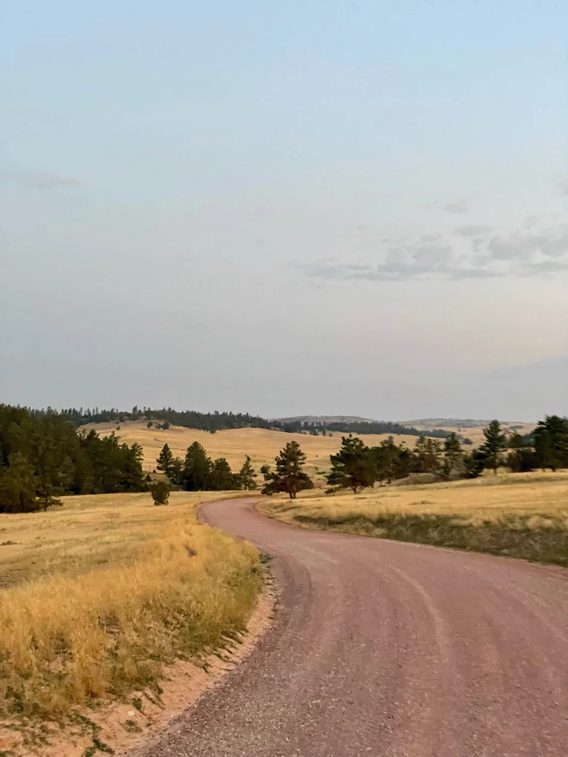
The dirt road was well kept
And the sign for fire danger was current
I ran by free roaming cattle
Until google maps instructed me to go off path through this filed
Which led me to this point…
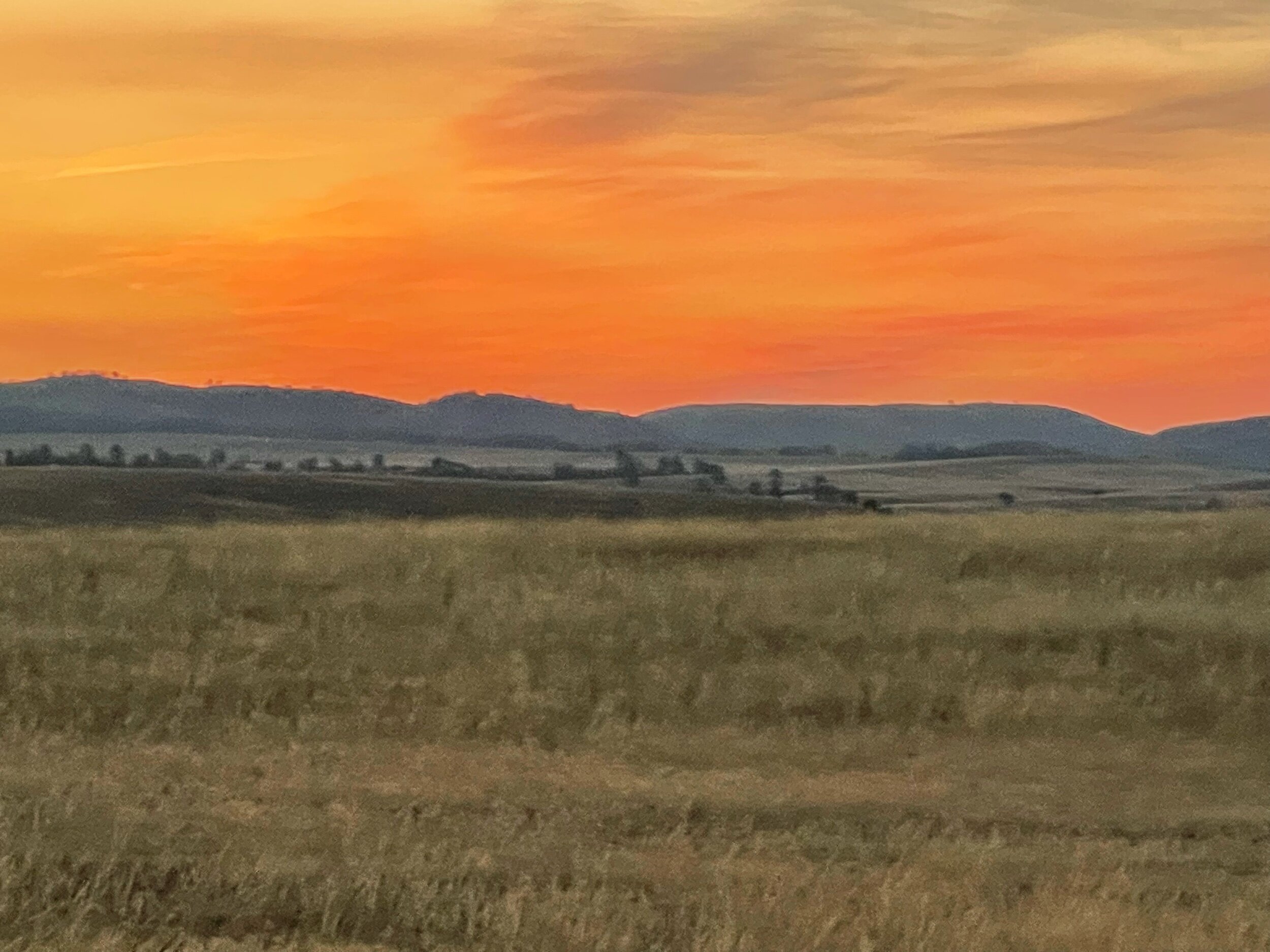
And dawn turned to the sun peaking up on the horizon
And then I was in the training area where big gun or artillery were used on numerous vehicles that were strewn in the area
One of the victims…
And shells all over the area
The sun finally came up as I continue to make my way across miles of the shooting area
Once I cleared that area, I followed this trail - or more like ran across fields
Until I came upon another Artillery area that I needed to cross
And somehow google led me through this filed that became a ridge on the moutain
Which also provided a spectacular view of the sun going higher in the sky
The earth was cracked all around and in some places, cleaved
Clearing that artillery area I had some good road again for a few miles until…
The road led to this sign and began to descend
Into Sawmill Canyon
And then in the canyon I came across a mosque - but not a real one. It was a mock village that I imagine was used for military exercises which explains the warning sign for bullets
This is the full view of the mock village
A few miles farther on a few cow ahead of me on the trail began to move with/ahead of me to a water source
At the top of another range, in the middle of an arid landscape the cows gathered around this water source where it was bubbling up and looked like the source of the river I was to follow down
I almost stepped on this guy…
A powerful river flowed a few miles further down
A cabin that had not survived except for the hearth and chimney in what must be a harsh winter environment
The trial descended
Until I saw this well appointed house on the other side of the river
I continued on the north side of the river through trails that appeared on google map but in reality were just fields
And then I popped out onto a bridge that I would cross after 21 miles in the wilderness and get back to civilization
Heading to the main road I saw how Wyoming farmers stack their hay…different than every other state
This was the end of the road leading out of the mountains and onto the main road to Glendo. I crossed the mountain range in the far distance to get here
This road also has history….Drawing of the Horseshoe Station in 1865. During the 1850s and 1860s, wagon freighters fed and watered mules and oxen, exchanged tired stagecoach horses for fresh ones, and conducted other tasks at the historic Horseshoe Creek Station near here. A nearly endless stream of emigrants from the eastern United States and from around the world stopped here.
Leaders of the Church of Jesus Christ of Latter Day Saints realized the importance of a dependable mail and passenger service between the east and the Salt Lake Valley. The Church-operated Brigham Young Express and Carrying Company (BYX) constructed the Horseshoe Creek Station complex in 1856, beginning a new community.
Tensions between the U.S. government and the Church reached a point that in 1857 a U.S. Military expedition was mounted to replace the Utah Territorial Governor Brigham Young. While accounts of the event vary, the Horseshoe Creek Station site fell victim to the violence and was set ablaze. In August. 1857 BYX disbanded its stations between Fort Laramie and Salt Lake City.
The station complex was later rebuilt and other operators, including the short-lived Pony Express, used the station for several years.
In December 1866 John "Portugee" Phillips stopped at the Horseshoe Creek Station during his legendary 235-mile ride through a blizzard from Fort Phil Kearny to Fort Laramie to telegraph the military that troops were surrounded by hostile Sioux and Cheyenne warriors and needed assistance.
Finally made it to Glendo, WY!
We checked into our RV Park a mile north of town and on the way to Douglas WY - tomorrow’s destination. As i tried to logon to the wifi, I found a curious network…third from the top


